Aisle 4No. 51 of 460
Splashery
Contour Lab
83,478 small parts. Assembled in your browser.
Empty. Now look down.
Swipe across the pack to tear it open.
Press and hold. It pulls itself together.
Let go to drop it.
It stays in its pack here. The Playground has the rest.
Science · Built from a recipe
Contour Lab
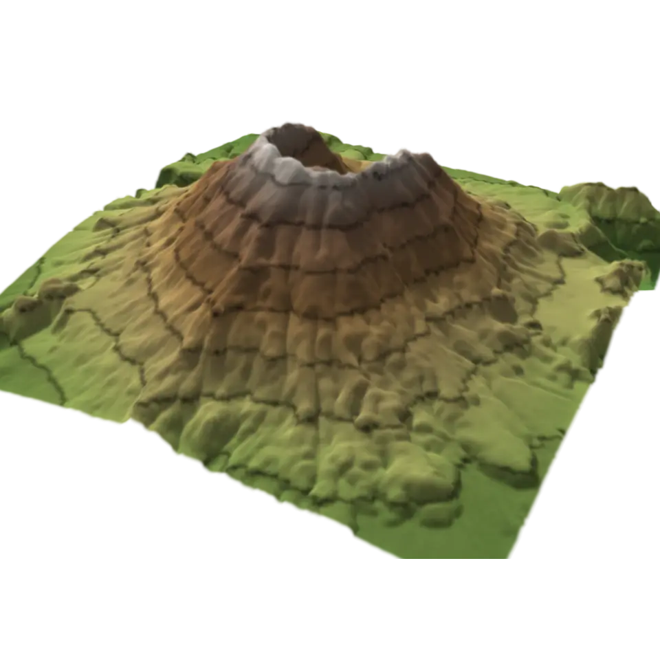
A contour line joins places at the same height, and a map with them shows a 3D shape on flat paper.
Play with it in the Playground
How to play
Tap to pull the layers apart; tap again to stack them. Pick a place in the Splash tab.
Toy facts
- Item
- No. 51 of 460
- Shelf
- Aisle 4, Science
- Kind
- Built from a recipe
- Small parts
- 83,478
- Your own
- About these contours
- Sound
- Yes
- Batteries
- None
- Assembly
- It does that itself
- Licenses
- Public domain
- Price
- $0.00
Small parts are the splats in its usual build on a computer. A phone may draw fewer.
Its controls
| Control | Kind | Range | Start |
|---|---|---|---|
| Pull the layers apart | Tap | ||
| Pull the layers apart | Switch | Off | |
| Place | List | 3 choices | Mount St. Helens |
| Height | List | 3 choices | Stretched 2× |
About it
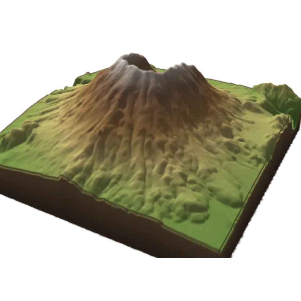
A contour line joins places at the same height, and a map with them shows a 3D shape on flat paper. This lab cuts real land into layers, one for each step of height, so you can see where the lines come from.
The land is measured: the U.S. Geological Survey's elevation data for Mount St. Helens, the Grand Canyon or Yosemite Valley, about 35 m between samples. Each layer's edge is a contour line. Tap to lift the layers apart and see each edge on its own; seen from straight above, the edges are the nested rings of a contour map. Lines close together mean steep ground; far apart, gentle. Choose the place and how much the heights are stretched.
Sources and credits
| Work | By | License |
|---|---|---|
| Mount St. Helens: USGS 3DEP 1/3 arc-second elevation, a square averaged to 256 × 256 samples | U.S. Geological Survey, 3D Elevation Program (The National Map) | Public domain (USGS 3D Elevation Program) |
| The Grand Canyon: USGS 3DEP 1/3 arc-second elevation, a square averaged to 256 × 256 samples | U.S. Geological Survey, 3D Elevation Program (The National Map) | Public domain (USGS 3D Elevation Program) |
| Yosemite Valley and Half Dome: USGS 3DEP 1/3 arc-second elevation, a square averaged to 256 × 256 samples | U.S. Geological Survey, 3D Elevation Program (The National Map) | Public domain (USGS 3D Elevation Program) |