Aisle 15No. 269 of 460
Splashery
Relief Map
700,000 small parts. Assembled in your browser.
Empty. Now look down.
Swipe across the pack to tear it open.
Press and hold. It pulls itself together.
Let go to drop it.
It stays in its pack here. The Playground has the rest.
Earth and Maps · Built from a recipe
Relief Map
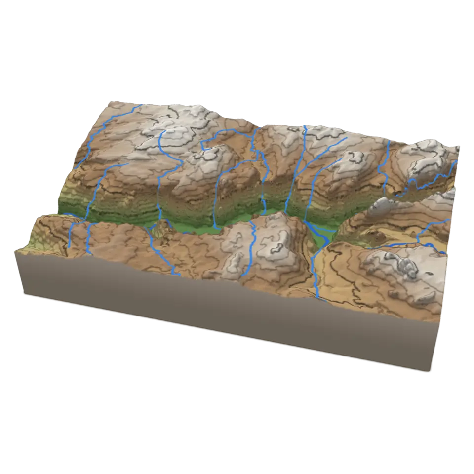
A relief map shows the shape of the land.
Play with it in the Playground
How to play
Tap to send a contour line up the cliffs and water down the streams. Change the map and layers in the Splash tab.
Toy facts
- Item
- No. 269 of 460
- Shelf
- Aisle 15, Earth and Maps
- Kind
- Built from a recipe
- Small parts
- 700,000
- Sound
- Yes
- Batteries
- None
- Assembly
- It does that itself
- Licenses
- Public domain
- Price
- $0.00
Small parts are the splats in its usual build on a computer. A phone may draw fewer.
Its controls
| Control | Kind | Range | Start |
|---|---|---|---|
| Sweep a contour and the streams | Tap | ||
| Sweep | Button | ||
| Map | List | 3 choices | Height colors |
| Contour lines | Setting | ||
| Streams | Setting |
About it
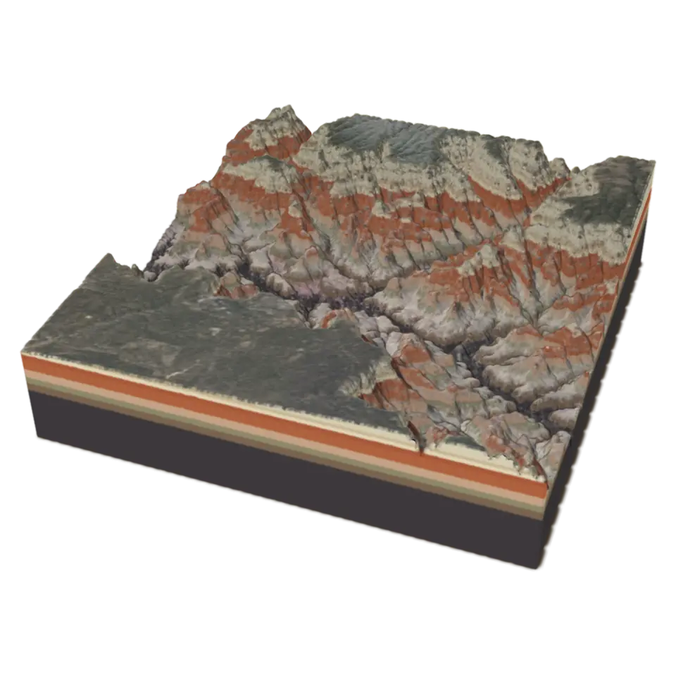
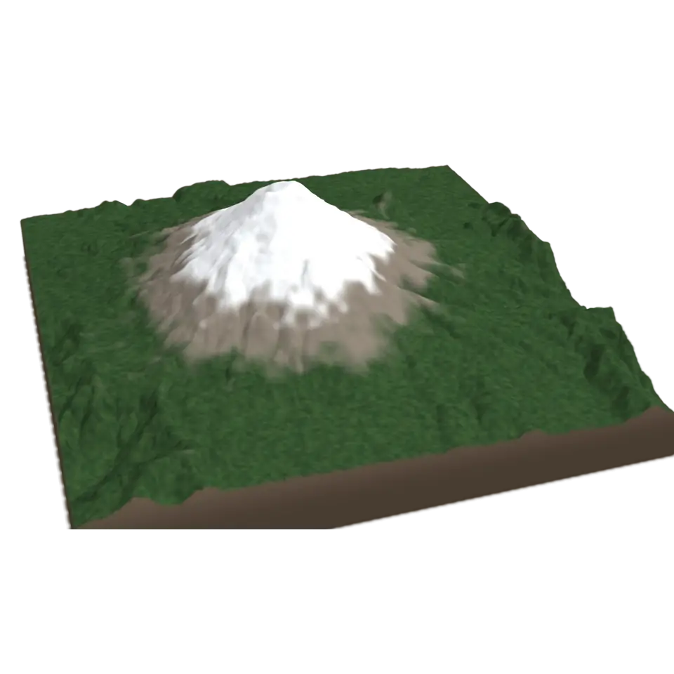
A relief map shows the shape of the land. Contour lines join points of the same height: here one every 100 meters, with a heavier line every 500, so lines close together mean a steep slope. This is Yosemite Valley in California, about 18 by 11 kilometers, with El Capitan and Half Dome rising more than 1,000 meters above the Merced River.
The heights come from the U.S. Geological Survey's 3D Elevation Program, and the streams from the National Hydrography Dataset. In the Splash tab, Map switches between height colors, the aerial photo and land cover (forest, meadow, bare rock and buildings, from the National Land Cover Database), and the switches turn the contour lines and streams on and off. Tap it and a glowing contour climbs from the valley floor to the rim while light runs down every stream, the way the water flows.
Details
- Splats
- Opens at 200,000 at Mid Detail, 193,854 at Low, and up to 1,000,000 at Max
Sources and credits
| Work | By | License |
|---|---|---|
| 3D Elevation Program (3DEP), The National Map | U.S. Geological Survey | Public domain |
| National Hydrography Dataset | U.S. Geological Survey | Public domain |
| National Land Cover Database 2021 (MRLC) | U.S. Geological Survey and the MRLC consortium | Public domain |
| The National Map orthoimagery (NAIP and Landsat) | USDA Farm Service Agency, NASA and the U.S. Geological Survey | Public domain |