Aisle 15No. 267 of 460
Splashery
Bar Harbor Tides
960,000 small parts. Assembled in your browser.
Empty. Now look down.
Swipe across the pack to tear it open.
Press and hold. It pulls itself together.
Let go to drop it.
It stays in its pack here. The Playground has the rest.
Earth and Maps · Built from a recipe
Bar Harbor Tides
Tides are the slow rise and fall of the sea, pulled by the Moon and the Sun.
Play with it in the Playground
How to play
Tap to play a day of tides: watch the bar to Bar Island dry out and flood.
Toy facts
- Item
- No. 267 of 460
- Shelf
- Aisle 15, Earth and Maps
- Kind
- Built from a recipe
- Small parts
- 960,000
- Sound
- Yes
- Batteries
- None
- Assembly
- It does that itself
- Licenses
- Public domain
- Price
- $0.00
Small parts are the splats in its usual build on a computer. A phone may draw fewer.
Its controls
| Control | Kind | Range | Start |
|---|---|---|---|
| Play a day of tides | Tap | ||
| Play the day | Button |
About it
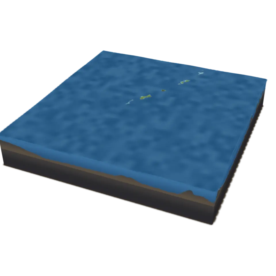
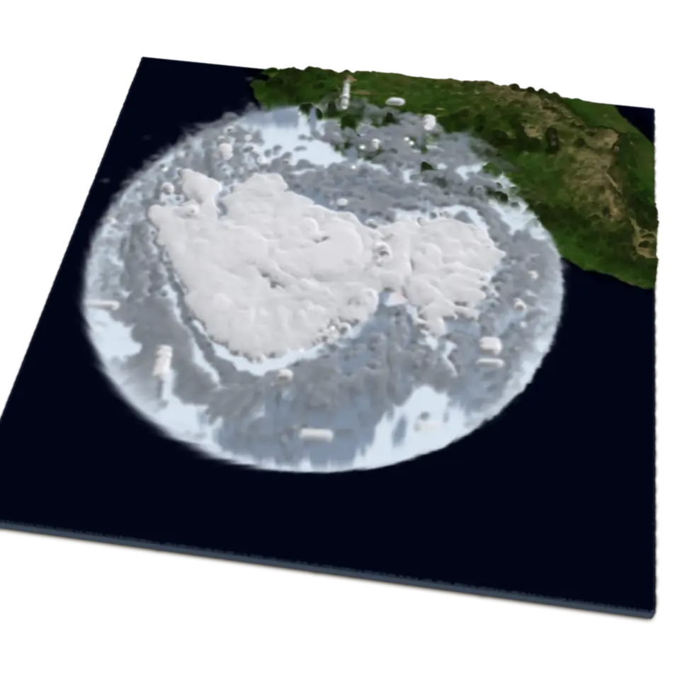
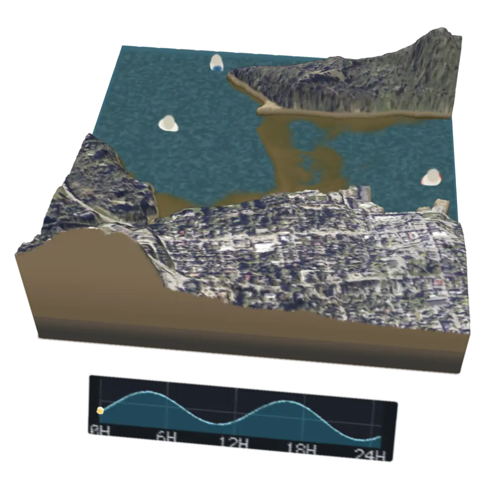
Tides are the slow rise and fall of the sea, pulled by the Moon and the Sun. Bar Harbor, Maine, has a range of about 3 to 4 meters, and at low tide a gravel bar appears between the town and Bar Island, so you can walk across for a few hours before the water covers it again.
This block is a kilometer of that shore, from NOAA's coastal elevation models and aerial photographs, with the heights stretched up six times. Tap it to play NOAA's tide predictions for the spring tide of October 28, 2026: about 25 hours in 12 seconds, two highs and two lows. The curve on the plaque is the prediction, and its dot marks the moment shown; the moored boats ride up and down with the water, and small waves move on the surface.
Details
- Splats
- Opens at 200,000 at Mid Detail, 167,690 at Low, and up to 1,000,000 at Max
Sources and credits
| Work | By | License |
|---|---|---|
| Tide predictions, Bar Harbor, Maine (8413320) | NOAA Center for Operational Oceanographic Products and Services | Public domain |
| NCEI coastal digital elevation models | NOAA National Centers for Environmental Information | Public domain |
| The National Map orthoimagery (NAIP and Landsat) | USDA Farm Service Agency, NASA and the U.S. Geological Survey | Public domain |